Updating Local Trail Information is important for Safety and Enjoyment!
You can participate in making the trails safer and more fun!
Help Keep the Trails Information Accurate
The Lumby and District Chamber of Commerce asks for our help in updating their annual Visitor Guide about the condition and accessibility of our regional trails. This information is valuable to locals as well visitors to the area. Up to date information helps keep people safe and happy, and coming back to our community.
Now you can help the Trail Society help the Chamber by completing a Trail Inventory Form when you go on a hike. Please click the button below to download the form and take it with you. Please measure distance from the Visitor Centre or stop light in downtown Lumby and drop the form off at the Chamber Office in the Visitor Centre after your hike.

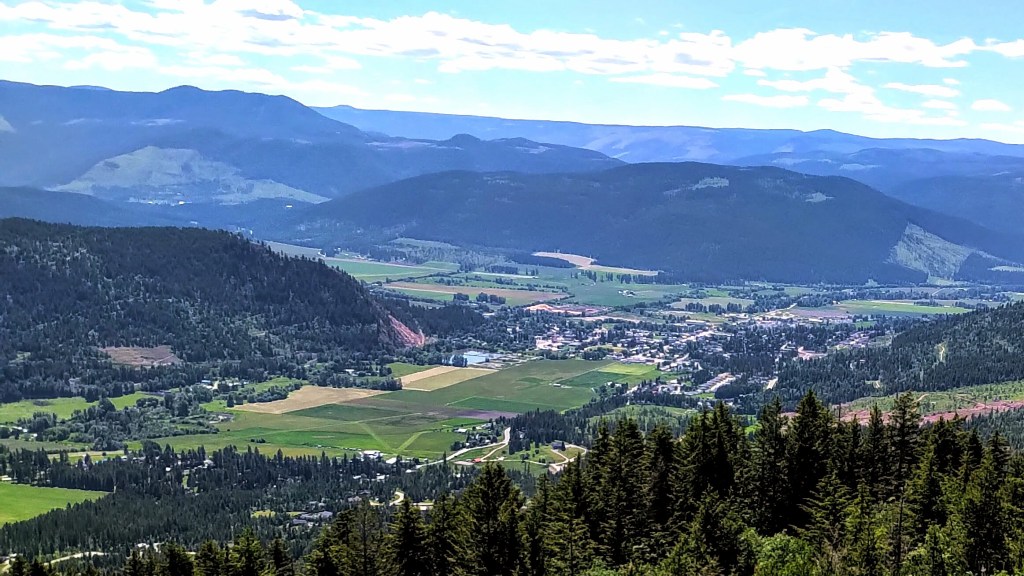
One of the closest trails to Lumby

Cooper’s Trail
Cooper’s Trail… MTS members have been hiking and mapping a new route to the Coopers Launch area that doesn’t include crossing any private property.
The trail is a well worn, 4 km out-and-back with a ‘choose your own adventure’ style at the top. We see this area as an excellent start to put in more trails (single and double track) for hiking, running and mountain biking, and eventually connecting to the land above Lumby’s mountain view area. We are currently working on approval for putting in signage for this spot. At the top of this hike there are many roads and old trails coming and going. Anyone who has information on some of these old trails (especially maps!) we would love to hear from you.
If you know the namesake of the term ‘Coopers’ we’d like to know that history too. The trail is accessed from Cooper Road, off of Hurt Road about 3 km from Lumby north on Mabel Lake Road.
Camel’s Hump Trail
Camel’s Hump… We are so excited to announce that new trail marker signs have been installed for the Camel’s Hump hike!
The trail head parking is much improved thanks to Tolko responding to our Society’s request earlier this year.
The improvements to 1 km before the last junction should help non-4X4 and lower clearance vehicles make it to the main parking area and then walk from there, adding on 1 km to the hike.
At 1 km before the trailhead, there’s room for parking if you prefer to hike from there. Road conditions may vary due to weather so driver beware.
We are grateful to the Vernon Outdoors Club who have maintained this trail for the last 50 years and continue to lead by example for us.
Monashee Mountains
The Monashee Provincial Park, located just outside of Cherryville, BC, is an expansive 56,000 ac (22,722 ha) of protected old growth forests and watersheds, floral carpeted meadows, sparkling mountain lakes, snow-capped summits, and clean mountain air. It’s also home to a variety of mountain wildlife such as the elusive mountain goat, grizzly bear, and caribou and other little creatures such as marmot, pika, and squirrel.

